Early afternoon light paints the hillsides above Sonoma, vineyard rows covering the slope. Suddenly, engines roar. The smell of hot rubber cuts the air. Chris Buescher's No. 17 Trimble Ford Mustang, distinct in its Liverpool FC colors, tears off the track and onto pit road. Five crew members are already there, lifting the car, swapping the tires and refueling to send him back into the fray. This perfectly rehearsed dance is made possible by the connection between driver and team. Across the rest of Northern California, that exact same digital precision bridges our past, manages our present, and charts our course for the future beyond.
Preserving the past
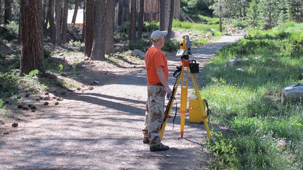
Native American sites, immigrant households and working-class neighborhoods are often overlooked in the historical record, but for more than 50 years the Anthropological Studies Center at Sonoma State University has done the careful work of preserving them. Trimble GPS and mapping equipment help ASC field teams capture pedestrian surveys across thousands of acres. They successfully oversee excavations of long-buried features in dense urban blocks, and disaster response in the wake of California’s wildfires. Through this vital work, the ASC is securing a permanent place on the map for the communities that have shaped California.

Sharing from the start
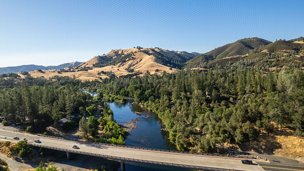
South of Sacramento, three aging bridges over the Cosumnes River carry a daily flow of California traffic. Caltrans and Granite Construction recently replaced all of them, a $158 million project that Trimble technology enabled them to deliver a full year ahead of schedule, working off one shared digital twin. The ultimate payoff is measured in time returned to the community. Finishing these bridges early saved drivers from a year of brutal construction traffic, while the digital twin ensures future maintenance crews can keep the state moving just as smoothly for generations to come.

Looking before the next “great leap”
In Northern California's Lava Beds National Monument, NASA researchers carefully guide a custom-built rig over uneven volcanic rock, and this terrestrial stone has become the proving grounds for technology that could one day keep astronauts alive on the Moon and Mars. By pairing Ground Penetrating Radar with Trimble GPS tracking here on Earth, scientists are learning how to safely map massive lava tubes that could serve as radiation-proof bunkers for humanity's next great leap.

Carrying the tech forward
A pit crew’s work is measured in seconds, but California’s progress is measured in decades. An archaeologist at Sonoma State recovering history after a wildfire, a Caltrans engineer safeguarding tomorrow’s maintenance crews, and a UC San Diego planner building for a student they will never meet are all doing the exact same thing: using the digital precision of today to guarantee the progress of tomorrow.
Add Trimble to your toolkit
For those looking to advance their own operations, explore the specific solutions and workflows that enable these initiatives across California.
Models that meet the field
The Caltrans crews will rely on the Cosumnes River bridges' digital twin for decades of future maintenance. To make sure that data is accessible in the field, Trimble SiteVision uses augmented reality to place BIM and GIS data in real-world scale on site, so the day-one model stays useful for years to come.Precision for the past
Capturing history requires absolute accuracy. Empowering field teams like the archaeologists at Sonoma State, Trimble Catalyst delivers high-precision GNSS positioning as a subscription service, scaling from meter to centimeter accuracy on any Android or iOS device.
Charting the future
Explore how Trimble Geospatial solutions provide the advanced mapping and 3D scanning technology researchers need to turn Northern California's lava caves into a proving ground for the future.


