

By Eliot Jones, Senior Manager, Trimble Strategy and Partner Development
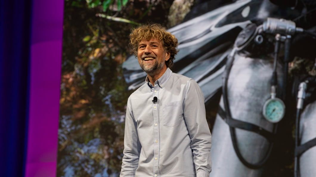
At the Trimble Dimensions user conference in November, explorer, scientist and journalist Klaus Thymann of the nonprofit organization Project Pressure, took attendees on an expedition far from Las Vegas. Thymann’s session offered a stunning look at how his team uses technology to gather critical, high-precision data in some of the world's most remote and hostile environments to help frontline communities adapt to a changing climate.
Exploration with a purpose: the tropical glacier crisis
Thymann emphasized that his work is not merely adventure; it is exploration with a purpose. The mission is to fill in the “white spots on the maps,” places where long-term, reliable data is scarce or nonexistent.
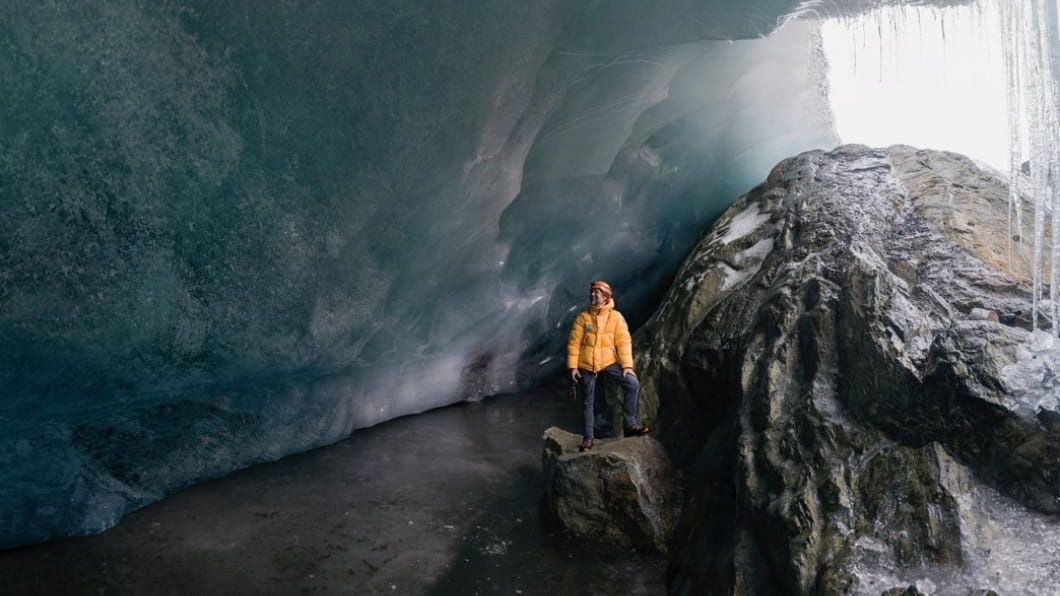
This is most urgent in remote locations, and tropical glaciers—found in places like the Rwenzori Mountains (on the border of Uganda and Congo), Bolivia and even Indonesia—represent a vital and irreplaceable water source for one-sixth of the world’s population.
As the planet warms, the ice retreats, threatening the stability of water supplies for agriculture and households downstream. However, due to nearly continuous cloud cover, satellite images are often useless, forcing the team to capture crucial, high-precision data on the ground.
Precision under pressure: technology for hostile terrain
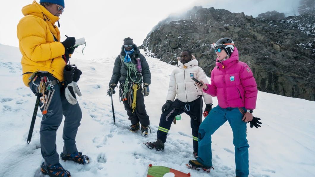
Capturing the rate of glacial change at altitudes of 16,000 feet (5,000 meters) requires technology that is both accurate and rugged. To overcome the challenges of extreme cold, high altitude, and lack of infrastructure, Thymann’s team utilized a methodology combining drone-based photogrammetry with Trimble GNSS technology. This approach replaces older, imprecise methods like comparative photography.
The team's workflow relies on the absolute precision of ground control points:
Setting targets: Colored targets are set up directly on the moving glacier ice to mark desired points.
Capturing coordinates: Using a Trimble Catalyst system with DA2 antenna and TDS600, the team captures the exact coordinates of these points. Thymann noted that even standing in a blizzard, they achieved remarkable one-centimeter horizontal and three-centimeter vertical accuracy.
Creating 3D models: Drone surveys are flown underneath the cloud base and the images are processed against the precise Trimble coordinates to create a highly accurate 3D model of the glacier.
From data to adaptation: localizing climate action
The critical component of Project Pressure’s work is the actionable intelligence it provides. By comparing 3D models from different years (for instance, comparing 2020 and 2024 data from the Rwenzori Mountains), the team can calculate the exact rate of ice recession and project the melting point.
This precise data is also provided directly to local communities, including farmers and tribes living around the mountains. With a fair estimate of what to expect in the next one to five years, they gain knowledge needed to survive and adapt:
They can make informed choices about crop selection.
They can implement water-saving crop rotation strategies.
They can better prepare for expected water shortages caused by the loss of these vital ice reservoirs.
Through their partnership with Trimble, Thymann and his team are combining precision technology, adventurous exploration and rigorous science to help frontline communities adapt to a rapidly changing world.
Learn more about how Trimble geospatial solutions enable you to capture and analyze high-precision data to see the world more clearly than you thought possible.


