


By Olivier Casabianca, Vice President, Advanced Positioning, Trimble
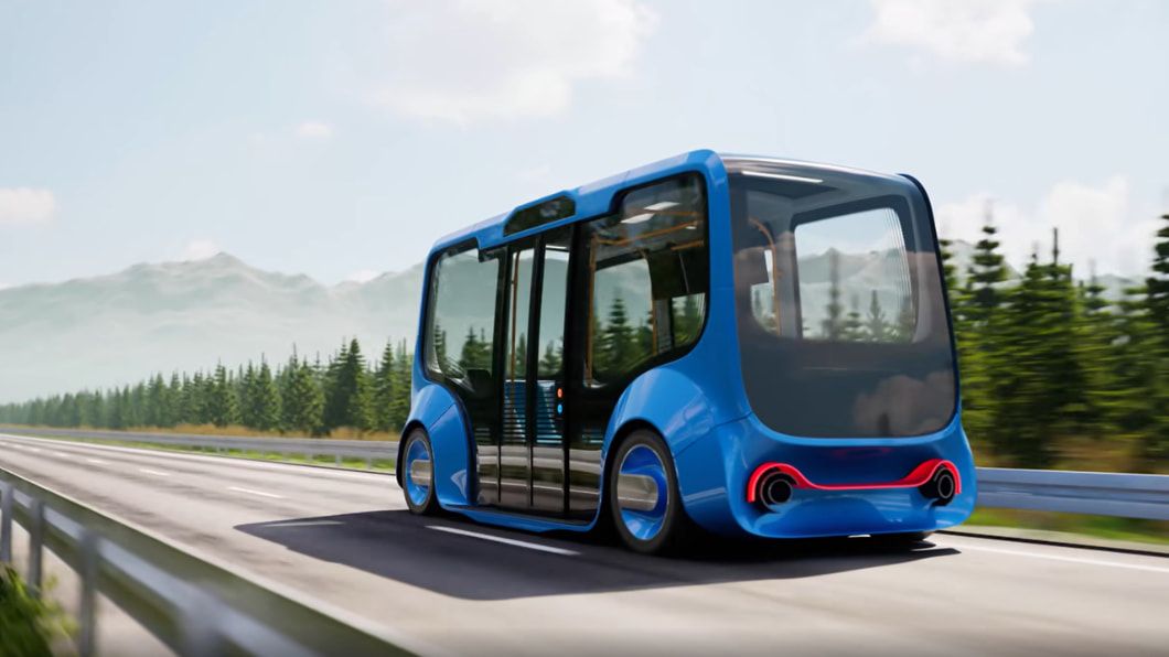
In the rapidly evolving landscape of autonomous mobility, we have reached a critical inflection point: the certainty gap. For years, the industry has relied on "good enough" GPS/GNSS—systems that function well in open fields or open skies but struggle the moment they encounter obstacles or challenging environments.
As we push toward true autonomy for passenger vehicles and drones, the difference between a successful journey and a system failure is no longer measured in meters, but in a few critical centimeters. By fusing satellite data with higher-performance sensors, we are shifting margins of error from the meter level to the centimeter level, providing the resilient foundation required for the next generation of transport.

Good isn’t good enough
A common misconception in autonomous development is that AI and high-resolution cameras and sensors alone can deliver needed safety in complex environments. But visual sensors have a fundamental vulnerability: unclear line of sight. They can be blinded by a sudden snowstorm, heavy fog or even the glare of direct sunlight.
Resilience in autonomy isn't just about having better "eyes," it’s also about having a better sense of place. While cameras and sensors interpret the environment, precise positioning relies on the immutable geometry of the Earth, constellations of the world’s most advanced satellites and precise measurement of vehicle motion parameters using inertial sensors. It acts as the silent fail-safe that ensures a vehicle or drone remains on its path when visual systems are compromised.

Redefining mobility at the lane level
Integration of high-accuracy geospatial technology is a game-changer for the automotive industry. By utilizing precise positioning technology integrated with inertial sensors, vehicles can achieve robust centimeter-level accuracy, in real time.
This resilient positioning engine is already being deployed by automakers such as Lucid Motors’ Gravity SUV. Lucid has launched the first electric vehicle to feature a resilient positioning engine in a system that can enable centimeter-level accuracy. This technology enables:
Infrastructure navigation: Maintaining precise location data even in GNSS-denied environments such as tunnels, parking garages and dense urban canyons.
Safety and assistance: Feeding hyper-accurate data into hands-free driving assist (HFDA) systems so the vehicle knows exactly which lane it occupies.
Efficiency: Using precise altitude data to provide more accurate battery range estimations by accounting for real-world terrain and elevation changes.
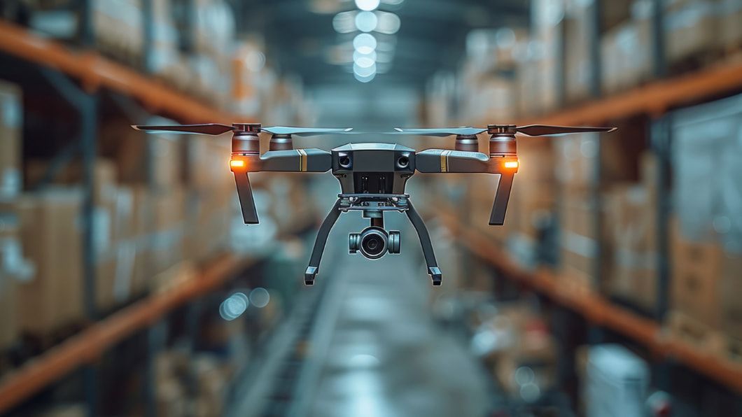
Precision takes flight
Moving from the ground to the air, precision is a regulatory and operational necessity. Drone delivery companies such as Volatus Aerospace are leveraging precise positioning solutions to conduct beyond visual line of sight (BVLOS) missions.
In high-stakes environments, such as delivering medical supplies near an airport, this technology delivers:
Regulatory compliance: Drones can maintain 50-foot ceilings to avoid interference with commercial aviation.
Safe takeoffs and landings: Centimeter-level accuracy allows for fully remote operations in tightly defined delivery zones.
Interference resistance: Advanced inertial sensors keep drones stable even in areas with high magnetic interference.
Moving ahead
When centimeter-level precision becomes standard, it won't just improve how we move; it will change the very fabric of our environment.
Urban planning: If vehicles can maintain their position with absolute certainty, we can design narrower highway lanes, reclaiming vast amounts of land for green spaces, bicycle lanes and pedestrian walkways.
Dark delivery networks: Integrating precise positioning and inertial dead reckoning with optical-based systems enables autonomous fleets with reliable, all-weather navigation—even in total darkness—to drive the scalability of 24/7 essential services.
Resilient ecosystems: As these technologies become the standard, the result is a safer, more efficient and more reliable ecosystem for both ground and aerial navigation.
By closing the certainty gap, cars don’t just find the road and drones don’t just find the landing pad. They meet demanding performance requirements despite unexpected obstacles and rapidly changing conditions. Thanks to precise positioning, the stage is being set for the world to move forward with reliability and resilience—to meet the future with confidence at every turn.


