By Kevin Garcia, General Manager of Civil Solutions, Trimble, and Dinorah Sanchez, Director of Product Management, Trimble
Drive anywhere in the US and it’s hard to miss a widening, concerning gap between the current state of roads and highways and the future requirements.
Given the rising demand for infrastructure investment, growing traffic volume and budget shortfalls, a smarter way of managing road maintenance is needed now. By integrating geospatial data, AI-powered analysis and connected software workflows, organizations can move away from delayed, reactive fixes and take action earlier to reduce costs, minimize disruptions and improve long-term performance.
This shift is already gaining traction around the world, with agencies seeing real results and finding better ways to manage their road networks.
Why this matters
When road conditions decline, the impact goes far beyond a rough ride. Poor pavement leads to vehicle damage, travel delays and safety concerns that affect both individuals and the broader economy.
According to the American Society of Civil Engineers, 39% of major US roads are in poor or mediocre condition. That costs the average driver more than $1,400 each year in extra vehicle expenses and lost time. Even with increased funding from the Infrastructure Investment and Jobs Act, roadways still face a projected $684 billion funding gap over the next decade.
Continuing with traditional approaches is not enough. Agencies need better visibility into conditions across their networks and a more coordinated way to act on that information.
Small cracks, big problems
Road damage rarely appears overnight. It often begins with small cracks that can easily go unnoticed. Once water gets in and traffic continues to pass over the surface, those cracks can quickly develop into potholes and more serious structural issues.
Traditional inspection methods, such as manual surveys, are often slow, subjective and dangerous for crews working near active traffic. Road closures during survey work are expensive and disrupt traffic, and sample-based assessments do not provide 100% coverage, which means issues can go undetected until they become more severe.
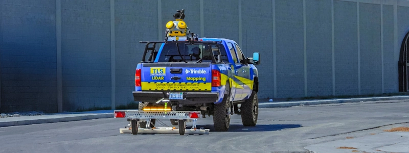
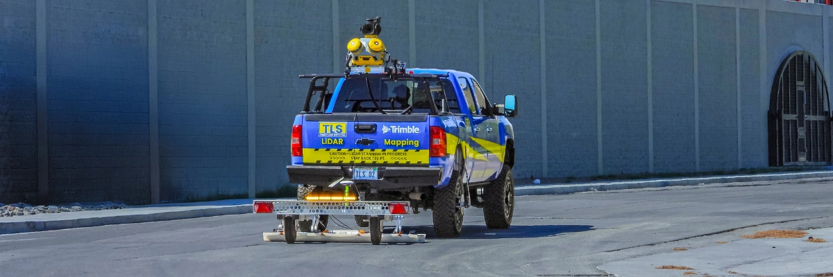
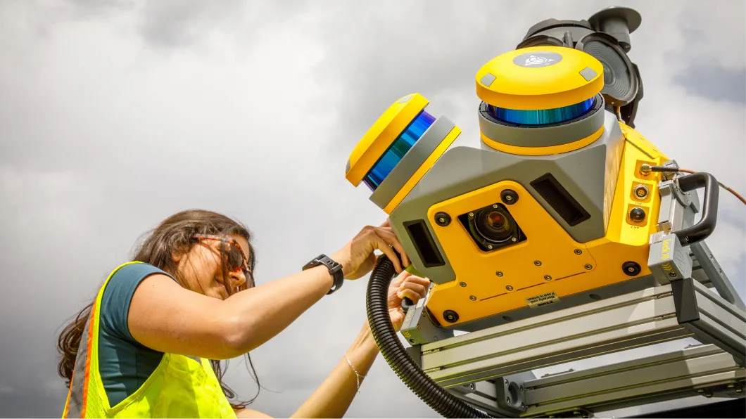
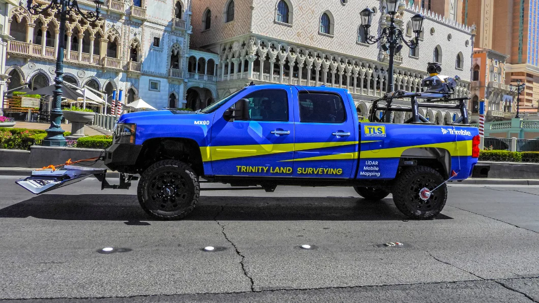
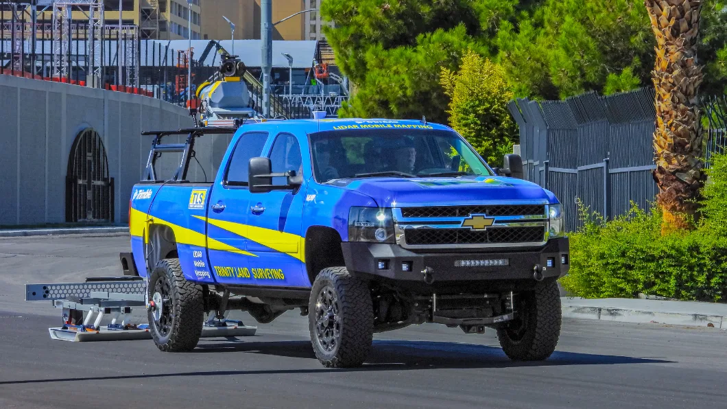
Today, vehicle-mounted mobile mapping systems provide a safer and more comprehensive approach. Equipped with high-resolution cameras, laser scanners and GNSS/IMU technology, these systems capture detailed data across entire road networks while driving at normal speeds. Mobile mapping creates a complete digital record of pavement conditions along with surrounding assets like guardrails and signage.
Letting AI do the heavy lifting
Collecting large volumes of data is only part of the equation. The next challenge is turning that data into consistent, actionable insights.
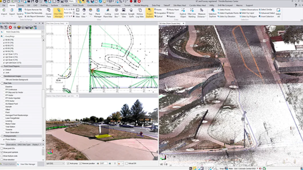
Trimble Business Center (TBC) handles the massive datasets by using a combination of traditional algorithms and deep learning models to analyze point clouds, pavement imagery, panoramic camera data and positioning information. These tools can automatically detect, classify and measure pavement distress, identifying patterns such as cracking, potholes and surface deformation with a high level of consistency.
Each issue is tied to a precise geographic location and categorized by type and severity. Combining 2D image analysis with 3D spatial context delivers detailed, objective results.
Automation plays a major role here as well. Tasks that once required hours of manual review can now be completed much faster and with greater consistency, allowing teams to move more efficiently from analysis to decision making.

Connecting the workflow
The real value comes from bringing everything together into a connected workflow.
Instead of treating data collection, analysis and maintenance as separate steps, organizations can link them into a continuous system.
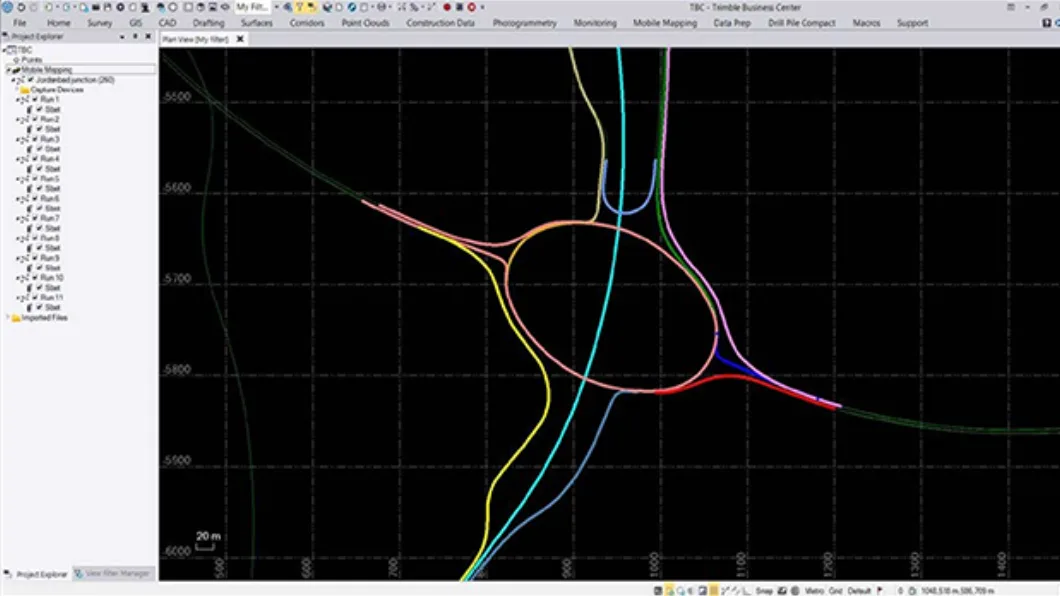
Solutions like the Trimble Unity asset lifecycle management (ALM) software platform provide a centralized, GIS-based environment where data from multiple sources can be accessed, managed and shared across teams. Integration with Esri ArcGIS helps departments collaborate more effectively and stay aligned.
Insights from pavement analysis can be turned directly into work orders, giving maintenance crews clear, location-specific instructions. At the same time, managers gain better visibility into asset conditions, resource allocation and project progress. Importantly, the data continues to deliver value over time rather than being used once and set aside.
Early intervention
For many agencies, maintenance has traditionally been reactive, with repairs happening only after visible damage appears. With AI-driven analysis and connected workflows, that approach is changing.
Teams can now identify early-stage defects across entire networks, prioritize work based on severity and address smaller issues before they grow into larger problems. Better planning leads to more targeted maintenance, fewer disruptions, lower long-term costs and longer-lasting roads.
Building more resilient road networks
This shift is already underway. Departments of transportation in states like Texas, Minnesota and California are adopting these technologies and seeing positive results from proactive pavement management programs.
By combining mobile mapping systems, AI-driven analysis and connected workflows, organizations are moving toward a data-driven approach to managing road networks. Trimble solutions are helping drive this transformation by allowing data to be captured once and used throughout the asset lifecycle, which supports better decisions at every stage, from planning to maintenance.
For the people who rely on our transportation infrastructure, the benefits are clear. Roads last longer, repairs happen sooner and travel becomes safer and more reliable. For agencies, this approach offers a practical way to meet growing demand for high quality service with limited resources.
