Customer profile
Geo Infra is a civil engineering design agency that is part of the Oomen Group of companies, a Dutch specialist in civil construction and earthmoving. With their specialization in surveying, the team of Geo Infra supports not only the Oomen Group, but also contractors from around the Netherlands on civil projects of all sizes. Dedicated users of Trimble surveying equipment and software, the team applies and supports the latest Trimble GNSS receivers, total stations, scanners, machine control and office productivity software. All with the help of SITECH Netherlands and Geometius, Trimble’s regional distribution partners.
Business challenge
Provide flexible surveying services to civil engineering and contracting firms.
Solutions Geo Infra:
Trimble X7 3D laser scanner with Trimble Perspective software
Trimble SX10 scanning total station
Trimble R12i GNSS receiver
Solutions Oomen Group:
Benefits
Dynamic cooperation between office and field crews
Field-to-office-to-field data integration
High-accuracy survey data acquisition and delivery
Supporting the Oomen Group’s civil contracting team, Geo Infra’s prime mission is to provide high-accuracy surveying services to enable 3D workflows across the construction continuum. With an engineering team consisting of three full-time surveyors, the company from the south of The Netherlands supports mid-sized to large civil contractors working on projects as diverse as the construction of production halls, road construction, sewer and rainwater drainage system construction and ground improvement.
Jarno de Jong leads the engineering and surveying team at Geo Infra: “The world is 3D, so it makes total sense to follow a full 3D workflow in our civil engineering business. Over the years we have made the successful transition from a paper-based to a full-digital workflow. The knowledge we have acquired, combined with the state-of-the-art systems and software from Trimble, supported by SITECH and Geometius, has enabled us to grow our accuracy, speed of delivery and profitability.”
First time right
In any construction project, the success of the future course of the project is determined at the very beginning: the site survey. Which has translated into Geo Infra being called in at an ever earlier stage. Using a Trimble X7 scanner or SX10 scanning total station, a crew member goes out to the prospective site to survey that which will become the basis of all of the dimensioning throughout the project. De Jong: “We want to get our survey absolutely right the first time around. We still come across poorly surveyed situations and low-quality drawings by third parties, which is hard to understand somehow. The technology we use enables us to get an accurate image and total overview of the site, including property boundaries. Then you’re already off to a flying start.”
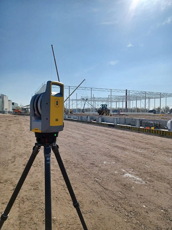
The data from the survey is processed in Trimble Business Center (TBC) and then turned into a digital model which forms the basis for the design of the site and the staking out. It can even be used to calculate surface areas and cut-and-fill volumes, either in the office with TBC or “live” in the field with the Trimble Access field software. During the course of most of their projects, Geo Infra is tasked with ongoing surveying to check whether construction is carried out to plan. On the Oomen Group construction projects, the Geo Infra team is also responsible for turning the 3D models from Trimble Business Center into DTM files (Digital terrain models) that can be used by the construction machinery’s Trimble Earthworks Grade Control Platform.
Distribution center
A typical Geo Infra project is the work the team conducted at a large development site, where a former electronics factory location in the south of the Netherlands was transformed into a new distribution center of over 1.3 million sqft, of which Oomen Group realized the first 538,000 sqft. of infrastructure. As part of the assignment, the team started with the creation of the construction drawings based on a site survey and checked the sizing and capacity of the proposed drainage. They drew the 3D models for the machine control systems to work from and verified the thickness and constructability of the concrete road. Rounding off the project, the Geo Infra team created the final as-built model of the entire Oomen Group project, which comprised groundworks including foundations, excavation, profiling and compaction, installing a complete sewage and drainage system of 2.5-mile length and two pumping stations, building concrete roads with (asphalt) pavement, erecting fences and gates and applying landscaping.
Field-to-office-to-field
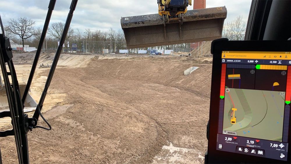
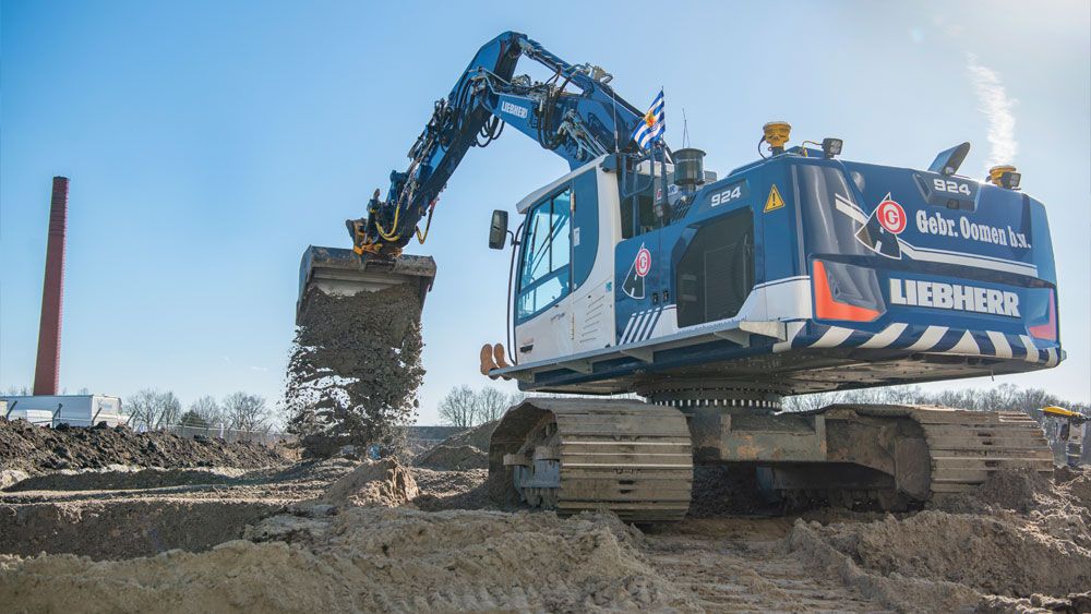
On its projects, Oomen Group operates a mixed fleet consisting of Liebherr crawler excavators, and Hitachi and Volvo mobile excavators. All of these machines are equipped with Trimble Earthworks. By transferring the Trimble Business Center models to the various machines through Trimble WorksManager, the machine operators get a graphic presentation of the required work on the display in the cab. These models are shared on the fly between office and field so any last-minute changes are implemented immediately by the operators and the work in the field is reflected in the as-built model that is delivered to the end customer, resulting in a field-to-office-to-field workflow.
“The cooperation between office and field has benefited tremendously in terms of dynamics and efficiency,” says De Jong. “The operators go out and get to work with the latest designs every day, on machines that are calibrated by our geo team. The office can check progress in real-time against the models and when there are deviations the team in the field can do a quick survey with a GNSS receiver to check and immediately remediate any issues. Eliminating rework saves time, travel and emissions and is a great first step towards operating in the most sustainable way.”


