

By Jennifer Blackwell, Product Marketing Manager, Trimble
When a disaster hits, most people are looking for a way out.
Public works teams are the ones heading in.
This video, “Inside City Disaster Response: How Public Works Prepares for Hurricanes, Floods & Wildfire,” goes behind the scenes in St. Johns County, Florida, and Flagstaff, Arizona, to showcase “second responders”—everyday heroes who ensure that, when the sirens stop, the utilities start and the roads get cleared.
Despite facing vastly different threats, these entities follow a similar playbook to turn data and technology into life-saving and infrastructure-restoring action. For them, disaster resilience starts long before the first alert, and the processes that save lives in one city can be shared to help many others. Every map, every decision, every shared insight helps communities respond faster and rebuild stronger.
Lesson 1: Disaster recovery begins with preparation
Cities that invest in planning, training and strong systems ahead of time are able to respond more safely and effectively when emergencies occur. Public works teams must be ready to act quickly to assess conditions, protect critical routes and restore vital services.
Lesson 2: Reliable data is the foundation of resilience
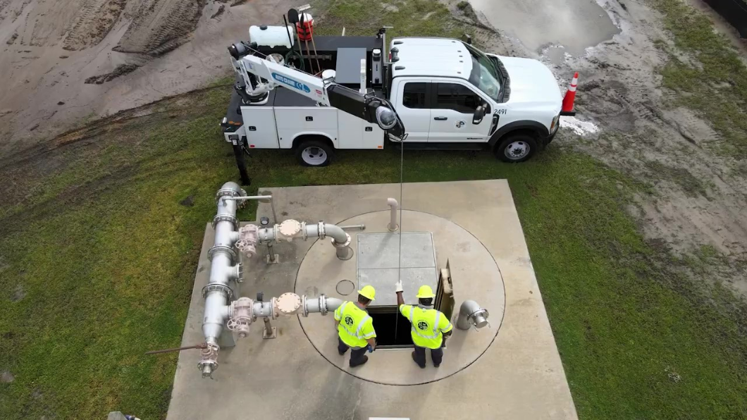
Preparation relies on quality data that helps agencies understand the condition and location of critical assets like roads, bridges and water systems. In St. Johns County, investing in GIS data and Trimble Unity asset lifecycle management software has helped prioritize stormwater cleanup, recovery and infrastructure work. Having accurate information available makes it possible to respond faster and with greater confidence when disaster strikes.
“We build that confidence in the data because we instill it in our team, our field staff. We make them an owner of that data, it's all recorded into the Trimble system,” says Rocky Agbunag, information systems officer for the St. Johns County Public Works Department. “They make sure that the data is correct so they can get either the proper equipment they need or the proper maintenance staff that we need.”
Lesson 3: GIS-centric technology strengthens decision making in the field
Field crews benefit from GIS data, maps, photos and coordinates that let them quickly identify damaged assets, risk points or bottlenecks. With better visibility, teams can prioritize activities, assign work orders and reduce paperwork, allowing response efforts to move faster.
Lesson 4: Connected systems help cities rebuild smarter
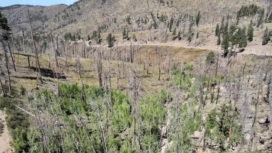
After a severe wildfire and flood in 2019, the City of Flagstaff implemented the Trimble Unity software suite, strengthening how the city tracks infrastructure and guides recovery. Connected systems provide real-time comprehensive information to support proactive asset management and reactive disaster response.
Ed Schenk, stormwater section director for Flagstaff, explains, “Having GIS tied into an asset management program, like Trimble Unity, was very important for real-time tracking of the events that were happening. Without GIS, without an asset management program, we wouldn't be able to track the disaster, the property damage, and what we would need to repair.”
This video, “Flagstaff Water Services achieves data-driven accountability,” shows how the city ensured that service requests and work orders didn’t fall through the cracks and drastically reduced the time required to calculate costs for FEMA reimbursement.
Lesson 5: The future of preparedness depends on trusted data and emerging AI insight
Quality data captured in the physical world and transferred seamlessly to digital databases provides the foundation for preparedness. With the increasing use of AI, agencies can look back at historical trends, query decades of records in natural language and gain predictive insight to support effective decision making.
Together, these lessons show that disaster readiness is built through the dedication of public works heroes and the smart use of GIS-driven technology.
Trimble Unity helps public and private-sector organizations optimize asset lifecycle management.
