

By Elwyn McLachlan, Trimble Vice President of Civil Construction Products and Strategy
3D modeling, digital site layout and automated machine guidance have matured into go-to tools for earthwork projects, but they grew up separately. A new Trimble connectivity breakthrough unites these dirt-moving distant cousins into a more cohesive family.
The new opportunities to gain speed, efficiency and accuracy by carrying a single digital model from design through layout, construction and verification are substantial. The 3D-to-field workflow is straightforward:
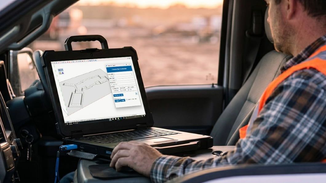
Contractors create 3D earthwork models quickly, easily and intuitively with Trimble SketchUp.
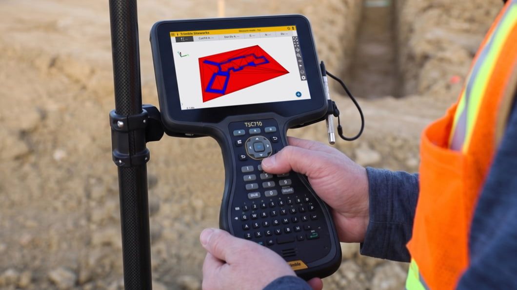
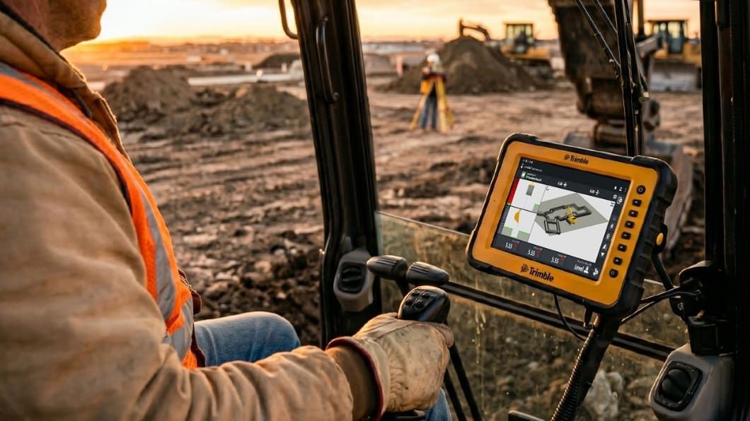
Model files are converted automatically so they can be used in the Trimble Siteworks positioning system and then in the Trimble Earthworks grade control platform.
Georeferenced points and measurements from Siteworks can be incorporated easily into SketchUp to build models.
Using 3D models in the field is nothing new. Creating them and converting files from office design software to field devices, however, have historically been major pain points. Complexity could quickly outweigh the benefits, especially for small and midsize operations without extensive in-house engineering expertise.
Having the 3D modeling, positioning and machine guidance technologies in its portfolio put Trimble in a unique position to replace these pain points with a connected technology ecosystem.
Breaking the modeling barrier: intuitive design for the non-specialist
Building 3D models of terrain and earthworks can seem out of reach or overly difficult for some contractors. Traditional CAD software is notoriously complex, expensive and requires specialized training or dedicated drafting staff. This creates a technical bottleneck.
Trimble SketchUp changes that. This leading application for the most challenging and creative architecture and design work has a secret: it’s also an affordable, intuitive and easy-to-learn option for more basic 3D modeling. SketchUp gives non-specialists a fast and highly visual tool to generate accurate 3D terrain for earth movement modeling and site logistics.
Eliminating the translation tax: automatic file conversion
Getting 3D design data into the hands and tools of field surveyors or getting it to move blades and buckets on equipment traditionally meant wrestling with different file formats. Transferring files often required tedious extra steps and specialized software utilities. Many USB drives traveled many miles in many pickup trucks. This disjointed loop was slow, prone to errors and a recipe for costly rework when design revisions didn’t make it to the field or the machine.
SketchUp Pro Civil Contractor makes these handoffs between design, layout and machine control easier. Built-in software connectivity through specialized extensions eliminates this manual translation tax. Georeferenced points and 3D terrain data flow from SketchUp into Trimble Siteworks, an all-in-one system ideal for smaller contractors. The Siteworks machine guidance module provides a GNSS rover and tablet that can be used for off-machine layout and quality checking AND for in-cab machine guidance. Surface designs can also be converted in the background and transferred as high-fidelity, machine-ready files directly to the Trimble Earthworks machine control platform.
Ecosystem advantage
By making 3D modeling faster and easier and improving the connection between design, layout and machine control, Trimble brings a new level of connectivity to technologies increasingly vital to success in earthwork, grading and utility construction.
The potential impact of this data exchange on competitiveness and profitability is profound. Modeling time is minimized through intuitive SketchUp workflows. Many contractors can do it themselves, without outside expertise. File conversion complexity is virtually eliminated. Rework and downtime levels drop, and accuracy is assured, as teams in the field work confidently with easy, accessible technology and the most up-to-date model.


