

Geospatial Industry
Advanced geospatial technology that connects the physical earth and digital world
Transform the work of surveying, mapping, 3D modeling and more through geospatial technologies and progressive industry tools in precision technology.
Industry-leading accuracy and reliability

Designed by surveying and geospatial industry experts
The future of geospatial technology available now
Use Trimble hardware and software technologies to leverage automated workflows and high precision spatial data to inform intelligent decision making. Accurate and reliable geospatial information is the core of our solutions.


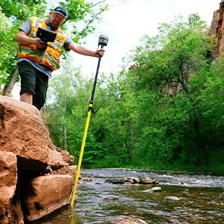
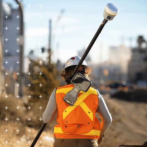
Real-time Networks
Establish and maintain accurate, reliable GNSS real-time networks.

Real-time Networks
Establish and maintain accurate, reliable GNSS real-time networks.
Real-time Networks
Establish and maintain accurate, reliable GNSS real-time networks.
Real-time Networks
Establish and maintain accurate, reliable GNSS real-time networks.
Smart geospatial industry technology helps you:

Restoring forests and degraded lands
Classifying the Caribbean's coral
Solving a century-old problem on an isolated island
Explore geospatial industry solutions
Discover how Trimble can help you solve your industry's most complex challenges and uncover opportunities to work smarter.
Purchase Trimble Geospatial solutions
Contact a Trimble Authorized Distribution partner to learn how our purpose-built technology solutions can help you.