Deadline extended! The Dimensions call for speakers closes April 26


Work, move and collaborate faster and safer
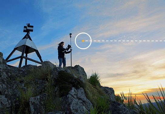
Bring accuracy, reliability and efficiency to complex operations and networks.
Unprecedented visibility into the world of your work
Positioning technology is where we got our start over 40 years ago. We've been leading the way ever since, helping our customers do their life's work from anywhere, without interruptions.
Tilling, seeding and spraying with centimeter-level accuracy. Precise concrete pours without string lines. Fast, accurate wetland delineations. It's all possible with Trimble.


Services that put you in the best position
Our easy-to-use GNSS correction services take the complexity and cost out of high-accuracy positioning. With Trimble, you get global coverage with the local support you need to deliver reliable performance and unbeatable accuracy.

Build your own positioning solution
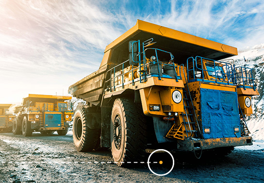
We provide high-precision GNSS modules for positioning and navigation solutions to OEMs, system integrators and robotics companies serving a wide range of industries including agriculture, construction, mining and industrial automation.

Mobile survey operations
Meet your complex positioning needs in the air, on land or at sea. Our purpose-built solutions are designed for pinpoint accuracy and efficiency, supporting applications for mobile mapping, surveying and autonomous vehicles.

Get high-quality data around the clock
Trimble enables organizations around the world, in every industry, to design, build and operate Real-time Networks that deliver accurate and reliable data all the time, every time.
Positioning technologies for industrial applications
Trimble's positioning technologies are transforming the way people work in several core industries:
Agriculture Industry Technology
Use smart agriculture solutions from Trimble to get critical farm management work done smarter, faster and more efficiently. Our advanced technology will powers the agriculture industry forward, no matter where your operations are across the globe.

Autonomy
From automotive to construction to agriculture, Trimble autonomous technology enables advanced action in any environment, meeting your needs in real-time, ahead of time, when it matters most.
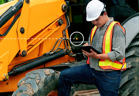
Construction Industry Technology
Deliver projects with more control through advanced construction technology in a modern cloud ecosystem that improves productivity, quality, transparency, safety and sustainability.
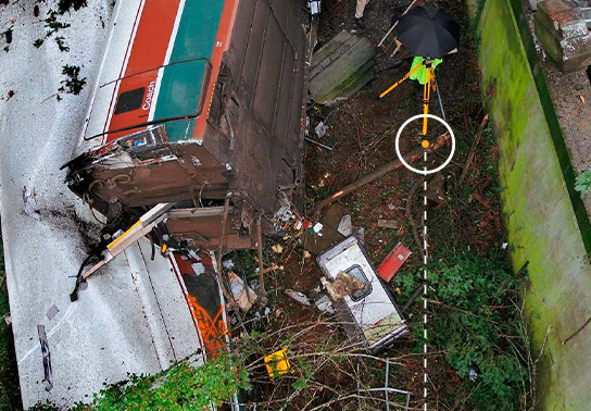
Forensics
A complete, end-to-end hardware and software solution designed specifically to help law enforcement and private sector agencies handle the toughest information-collection challenges.
Geospatial Industry Technology
Transform data into real-world intelligence using the most progressive, reliable and accurate tools in precision technology, custom built for the geospatial industry. With geospatial connected technologies, turn data into action for smart decision-making and productive projects.
Land Administration
Reliable, accurate, efficient and transparent land administration environments promote and sustain healthy and prosperous real property, mortgage and natural resource markets.
Build better teams and projects with connected solutions
Trimble's connected solutions provide a combination of collaboration and interoperability that brings a long list of benefits that cannot be achieved through point solutions alone.

Limit environmental impact

Make intelligent decisions
Optimize task productivity
Solve complex problems
Improve operating results
Focus on safety
Case Study
Mobile mapping sees it all
North Carolina's Charlotte Water turned to Trimble and Esri for help creating an innovative mapping solution to verify the locations of its revenue-generating water meters.
Case Study
Stepping up building layout
One of the U.S.'s largest MEP building systems experts was able to increase efficiency by 20-30% and speed up field adoption on a large LAX airport project.
Case Study
Redefining how police collect evidence
The Chenago County Sherriff's Office is among the first law enforcement groups in New York State to employ a new cutting-edge crime scene investigations tool.