Deadline extended! The Dimensions call for speakers closes April 26


Agriculture Industry
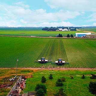
Easier farming with precision technology
Farming is hard. The power of Trimble agriculture technologies combines simplicity with innovation to make it easier.
Driving productivity and profitability
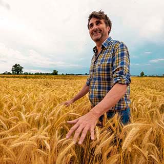
Helping you grow your farm
Easy to understand, modern farming technology
While we can’t control the weather or crop prices, our Trimble industry solutions can help simplify workflows with seamless connectivity and accuracy you can rely on to elevate your agriculture business.

Land preparation
Advanced technology optimizes crop yields and enhances overall farm productivity and profitability by preparing your fields for the season ahead.

Planting and seeding
Start the season strong with precision agriculture technology solutions that make planting and seeding operations more accurate and efficient.

Nutrient management & fertilizing
Trimble precision technology makes nutrient applications more accurate and efficient, so that you can plan on fertilizer applications that protect your bottom line and the environment.

Crop protection & spraying
Whether you are battling weeds, insects or disease, Trimble makes spraying applications more accurate, placing crop protection products only where needed while reducing waste and costs.

Harvest
Maximize harvest with agriculture technologies that bring enhanced automation to one of the most important times of the year.

Water management
Leverage proven land-forming and subsurface drainage industry solutions to create optimal water distribution on your farm.
AGCO and Trimble close joint venture
The future of the agriculture industry is here today
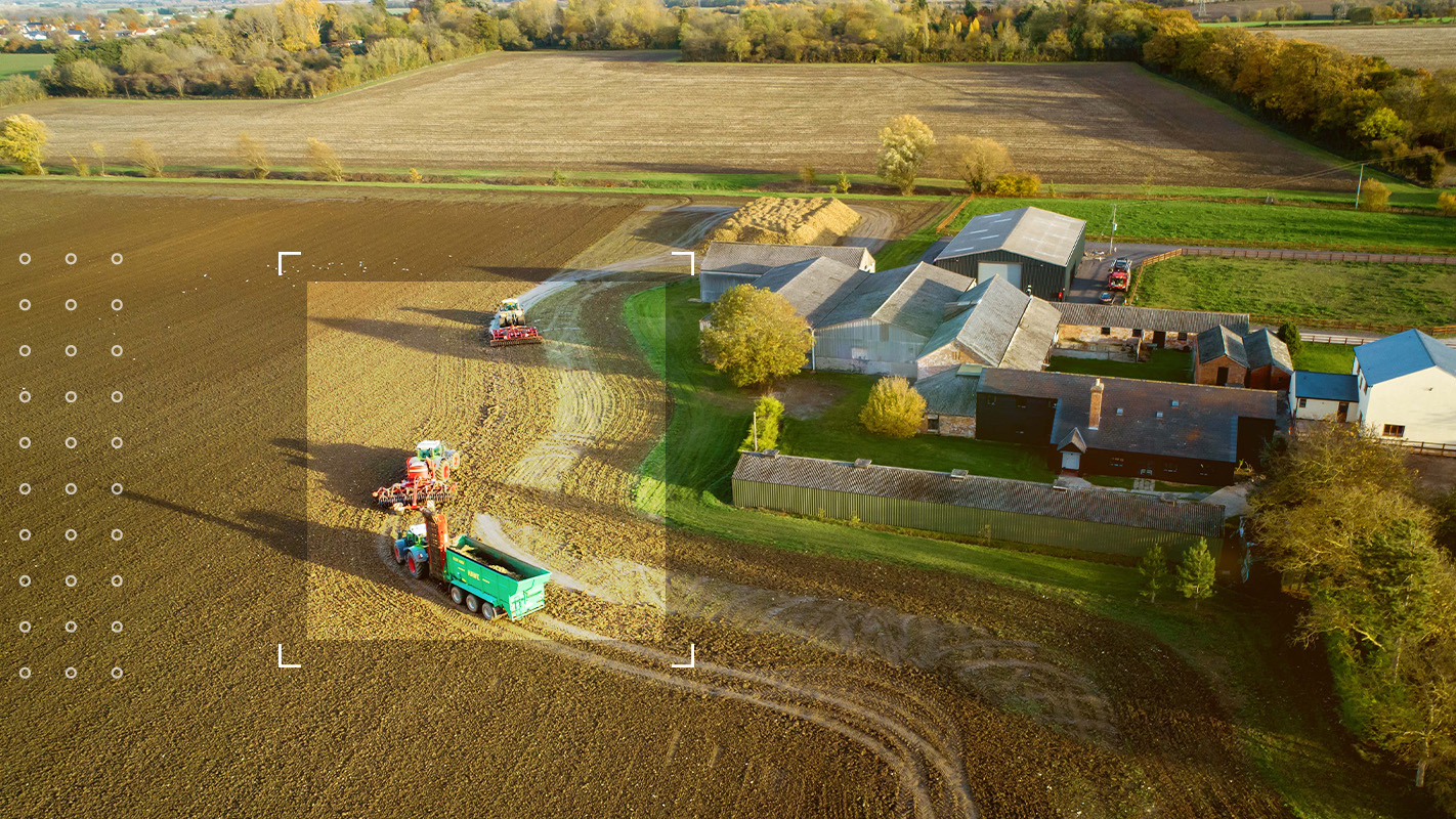
Driving productivity and profitability

Simple to operate
Machinery compatibility and connectivity
Accuracy and reliability
Helping you grow your farm
Committed to sustainability
case study
Investing in your farm’s future
Investing in precision agriculture technology now can put you ahead of the curve when it comes to ensuring your farm’s profitability and sustainability in the long-term.
case study
Advanced farming technology
Farmers are often looking for ways to improve ROI, maximize profits and limit expenses. However, spending money on the right things could be a game-changer for your bottom line.
Explore more industry solutions
Learn more about how Trimble agriculture technology is transforming the way farmers do their life's work.
Agriculture solutions for you
Contact a Trimble Authorized Dealer to learn how our purpose-made technology solutions can help you.